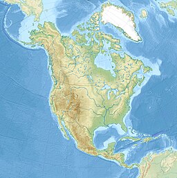
| Nunavakanuk Lake | |
|---|---|
  | |
| Location | Yukon Delta, Kusilvak Census Area, Alaska |
| Coordinates | 62°03′33″N 164°38′51″W / 62.05917°N 164.64750°W / 62.05917; -164.64750 |
| Basin countries | United States |
| Max. length | 9 mi (14 km) |
| Surface elevation | −4 ft (−1.2 m) (below sea level) |
Nunavakanuk Lake is a lake in the Yukon Delta of Kusilvak Census Area, Alaska, United States. The lake is 9 mi (14 km) long and is bordered to the south east by the Kusilvak Mountains. The lake's name is Eskimo in origin. At an elevation of −4 ft (−1.2 m) it is, or near, the lowest point in the state of Alaska.
External links
This article about a location in the Kusilvak Census Area, Alaska is a stub. You can help Misplaced Pages by expanding it. |