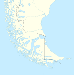
| Native name: Isla Pacheco | |
|---|---|
 | |
| Geography | |
| Coordinates | 52°15′06″S 74°46′26″W / 52.251548°S 74.774022°W / -52.251548; -74.774022 |
| Archipelago | Queen Adelaide Archipelago |
| Adjacent to | Pacific Ocean |
| Area | 156.8 km (60.5 sq mi) |
| Coastline | 91.9 km (57.1 mi) |
| Administration | |
| Chile | |
| Region | Magallanes y la Antártica Chilena |
| Additional information | |
| NGA UFI=-894547 | |
Pacheco Island is an island between Vidal Gomez Island and Victoria Island at the north shore of the West entrance of the Strait of Magellan in Chile.
See also
External links
- Islands of Chile @ United Nations Environment Programme
- World island information @ WorldIslandInfo.com
- South America Island High Points above 1000 meters
- United States Hydrographic Office, South America Pilot (1916)
This Magallanes and Antártica Chilena Region location article is a stub. You can help Misplaced Pages by expanding it. |