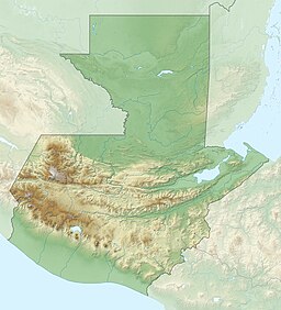
| Petexbatún Lake | |
|---|---|
 Petexbatún river near the site of Aguateca Petexbatún river near the site of Aguateca | |
 | |
| Location | Petén |
| Coordinates | 16°25′57″N 90°11′14″W / 16.432381°N 90.187283°W / 16.432381; -90.187283 (Laguna de Petexbatún) |
| Primary inflows | Riachuelo Aguateca, Riachuelo El Faisán |
| Primary outflows | Río Petexbatún |
| Basin countries | Guatemala |
| Surface area | 5.4 km (2.1 sq mi) |
| Surface elevation | 130 m (430 ft) |
Petexbatún is a small lake formed by a river of the same name, which is a tributary of the Pasión River. It is near Sayaxché, located in the southern area of the Guatemalan department of Petén.

In winter, as the La Pasión River rises, the direction of the Petexbatún River is reversed. It moves south with the current of the La Pasión River and the water level of the Petexbatún Lake increases.
Archaeologists gave the name of Petexbatún State to a group of cities during the Classic period of the Maya civilization that include Seibal, Itzan, Dos Pilas, Aguateca, Tamarindito, Punta de Chimino, Nacimiento, and others. This State was the first to be abandoned in the Late Classic, when the Maya collapse occurred in a south to north pattern, although Seibal, may have been reoccupied by a foreign group, possibly the Putún Maya, according to the style of the stele in this period. The archaeological findings here have given a lot of information about the collapse of the Classic Maya civilization.
Notes
- "Wetland Inv - Guatemala" (xls). Ducks Unlimited. Retrieved 18 July 2008.
- PREPAC 2007
- The Petexbatún eco-system (in Spanish) Retrieved 30 January 2021.
References
- Demarest, Arthur A. (2006). The Petexbatun Regional Archaeological Project: A Multidisciplinary Study of the Maya Collapse. Vanderbilt Institute of Mesoamerican Archaeology series, vol. 1. Nashville, TN: Vanderbilt University Press. ISBN 978-0-8265-1520-9. OCLC 63178772.
- Houston, Stephen D. (1993). Hieroglyphs and History at Dos Pilas: Dynastic Politics of the Classic Maya. Austin: University of Texas Press. ISBN 0-292-73855-2. OCLC 25507968.
- PREPAC (2007-06-06). "Descripción de Lagunas de Guatemala" (PDF). Lagunas de Centroamérica. OIRSA. Archived from the original (PDF) on 2011-07-27. Retrieved 2010-06-08.