| This article includes a list of references, related reading, or external links, but its sources remain unclear because it lacks inline citations. Please help improve this article by introducing more precise citations. (November 2023) (Learn how and when to remove this message) |
| Plasteikopf | |
|---|---|
 | |
| Highest point | |
| Elevation | 2,356 m (7,730 ft) |
| Coordinates | 47°03′55″N 9°34′38″E / 47.06528°N 9.57722°E / 47.06528; 9.57722 |
| Geography | |
| Location | Liechtenstein |
| Parent range | Rätikon, Alps |
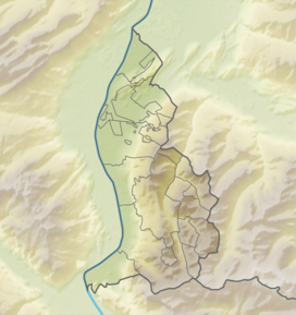
Plasteikopf is a mountain in Liechtenstein in the Rätikon range of the Eastern Alps close to the border with Switzerland, with a height of 2,356 metres (7,730 ft).
References
- Unfolding Liechtenstein, Panorama Map (Map). Liechtenstein Tourismus. 2007.
- Feldkirch - Vaduz (Map). 1:50000. Wander, Bike- und Skitourenkarte. Cartography by Kompass-Karten GmbH. Kompass. 2007.
This Liechtenstein location article is a stub. You can help Misplaced Pages by expanding it. |