| This article does not cite any sources. Please help improve this article by adding citations to reliable sources. Unsourced material may be challenged and removed. Find sources: "Raunistula" – news · newspapers · books · scholar · JSTOR (December 2009) (Learn how and when to remove this message) |


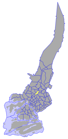
Raunistula is a district of the city of Turku, in Finland. It is located to the north of the city centre, on the west bank of the river Aura. Raunistula consists mostly of low-density residential area, and the remains of the industrial area there are to be redeveloped into residences in the near future.
The current (as of 2004) population of Raunistula is 1,442, and it is increasing at an annual rate of 3.47%. 13.87% of the district's population are under 15 years old, while 13.38% are over 65. The district's linguistic makeup is 92.02% Finnish, 4.92% Swedish, and 3.05% other.
See also
This Western Finland location article is a stub. You can help Misplaced Pages by expanding it. |
| Districts of Turku City Centre | ||
|---|---|---|
| ||
| Districts of Tampereentie (Tammerforsvägen) | ||
|---|---|---|
60°27′50″N 22°16′15″E / 60.46389°N 22.27083°E / 60.46389; 22.27083
Categories: