| Schliersberg | |
|---|---|
 | |
| Highest point | |
| Elevation | 1,265 m (4,150 ft) |
| Prominence | 199 m (653 ft) |
| Isolation | 3.3 km |
| Coordinates | 47°44′34″N 11°53′16″E / 47.74278°N 11.88778°E / 47.74278; 11.88778 |
| Geography | |
  | |
| Location | Bavaria, Germany |
| Parent range | Bavarian Prealps, Northern Limestone Alps |
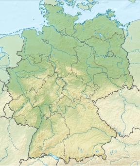
The Schliersberg (also known as Rhonberg or Rohnberg) is a 1,265-metre-high (4,150 ft) mountain in the Bavarian Prealps above the village Schliersee (Miesbach district, Upper Bavaria) and Lake Schliersee. The wooded summit can be reached within a 1.5 hour hike and passes the hut Schliersbergalm, located 1,055 m above sea level, which can also be reached by a cable car since 1952.
References
- "Schliersberg". Peakbagger.
- "Ausschnitt Topographische Karte 1 : 50 000". BayernAtlas (in German).
This Bavaria location article is a stub. You can help Misplaced Pages by expanding it. |