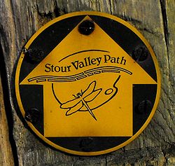
This article is about the path in Suffolk. For the route in Dorset, see Stour Valley Way. For the route in Kent, see Stour Valley Walk.


The Stour Valley Path is a 96-kilometre (60 mi) long-distance footpath in Suffolk, England, from Newmarket (52°14′27″N 0°23′51″E / 52.2407°N 0.3976°E / 52.2407; 0.3976 (Stour Valley Path (Newmarket trailhead))) to Cattawade (51°57′25″N 1°03′23″E / 51.9570°N 1.0563°E / 51.9570; 1.0563 (Stour Valley Path (Cattawade trailhead))), a nature reserve near Manningtree.
The path follows the catchment area of the River Stour. The majority of the route forms part of European Path E2. It connects with the Icknield Way Path, St Edmund Way, the Stour and Orwell Walk and the Essex Way.
References
- "Stour Valley Path". www.dedhamvalestourvalley.org. Dedham Vale. Retrieved 15 June 2023.