 | |
| Geography | |
|---|---|
| Location | Pacific Ocean |
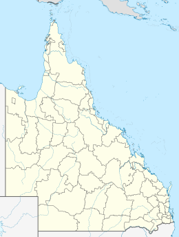
| Coordinates | 12°46′52″S 143°24′40″E / 12.781°S 143.411°E / -12.781; 143.411 |
| Area | 1 ha (2.5 acres) |
| Administration | |
| Australia | |
| State | Queensland |
Sunter Island is an island in the Aboriginal Shire of Lockhart River, Queensland, Australia.
Geography
It is part of the Great Barrier Reef Marine Park in Lloyd Bay between Lockhart River and Cape Direction, Queensland. It is approximately 0.01 square kilometres in size.
References
- "Sunter Island – island in the Aboriginal Shire of Lockhart River (entry 32865)". Queensland Place Names. Queensland Government. Retrieved 17 November 2018.
- "Map of Sunter Island, QLD".
This Queensland protected areas related article is a stub. You can help Misplaced Pages by expanding it. |