| Teseney Airport | |||||||||||
|---|---|---|---|---|---|---|---|---|---|---|---|
| Summary | |||||||||||
| Airport type | Public | ||||||||||
| Serves | Teseney | ||||||||||
| Elevation AMSL | 2,018 ft / 615 m | ||||||||||
| Coordinates | 15°06′10″N 36°41′00″E / 15.10278°N 36.68333°E / 15.10278; 36.68333 | ||||||||||
| Map | |||||||||||
 | |||||||||||
| Runways | |||||||||||
| |||||||||||
| Source: Google Maps | |||||||||||
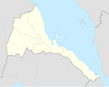
Teseney Airport (IATA: TES, ICAO: HHTS) is an airport serving Teseney, Eritrea. It has an asphalt runway of 2,330 meters.
See also
References
- OurAirports - Eritrea
- Great Circle Mapper - Teseney
- Teseney
- Google Earth
This article about an airport in Eritrea is a stub. You can help Misplaced Pages by expanding it. |