| This article does not cite any sources. Please help improve this article by adding citations to reliable sources. Unsourced material may be challenged and removed. Find sources: "Black Fell" Pennines – news · newspapers · books · scholar · JSTOR (July 2024) (Learn how and when to remove this message) |
| Black Fell | |
|---|---|
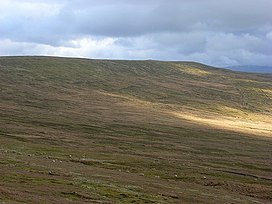
 The flank of Black Fell The flank of Black Fell | |
| Highest point | |
| Elevation | 664 m (2,178 ft) |
| Prominence | 89 m (292 ft) |
| Parent peak | Cross Fell |
| Listing | Hewitt, Nuttall |
| Coordinates | 54°47′36″N 2°32′56″W / 54.79324°N 2.54897°W / 54.79324; -2.54897 |
| Geography | |
 | |
| Parent range | North Pennines |
| OS grid | NY648444 |
| Topo map | OS Landranger 86 |
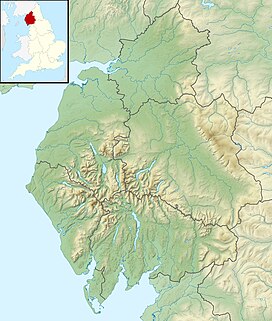
Black Fell is a hill in the North Pennines, England. It is located just north of the A686 road, west of Alston and is one of the most northerly parts of the Pennines.
References
| Hills of the North Pennines | |
|---|---|
| Marilyns | |
| Hewitts | |
| Other hills | |
This Cumbria location article is a stub. You can help Misplaced Pages by expanding it. |