| Tumba-Lediima Nature Reserve | |
|---|---|
| Réserve naturelle de Tumba-Lediima | |
 | |
| Location | Mai-Ndombe and Équateur provinces, Democratic Republic of the Congo |
| Coordinates | 1°30′S 17°18′E / 1.500°S 17.300°E / -1.500; 17.300 |
| Area | 7,411.77 km (2,861.70 sq mi) |
| Designation | Nature reserve |
| Designated | 2006 |
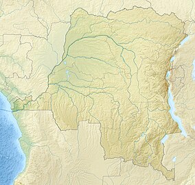
Tumba-Lediima Nature Reserve is a protected area in the Democratic Republic of the Congo. It lies immediately east of the Congo River, in Mai-Ndombe and Équateur provinces, and extends from east of the town of Yumbi to just south of the town of Liranga.
It protects a portion of the eastern Congolian swamp forests.
The reserve was designated in 2006, and covers an area of 7411.77 km.
The reserve, along with Ngiri Triangle Nature Reserve to the northeast, is part of the Triangle de la Ngiri Ramsar Site, a designated wetland of international importance covering 65,696.24 km.
References
- ^ UNEP-WCMC (2021). Protected Area Profile for Tumba-Lediima from the World Database of Protected Areas. Accessed 20 October 2021.
- "Eastern Congolian swamp forests". DOPA Explorer. Accessed 20 October 2021.
- UNEP-WCMC (2021). Protected Area Profile for Ngiri from the World Database of Protected Areas. Accessed 20 October 2021.