| Ust-Kachka Усть-Качка | |
|---|---|
| Selo | |
  | |
| Coordinates: 58°00′N 55°40′E / 58.000°N 55.667°E / 58.000; 55.667 | |
| Country | Russia |
| Region | Perm Krai |
| District | Permsky District |
| Time zone | UTC+5:00 |
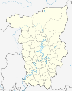
Ust-Kachka (Russian: Усть-Качка) is a rural locality (a selo) and the administrative center of Ust-Kachkinskoye Rural Settlement, Permsky District, Perm Krai, Russia. The population was4,098 as of 2010. There are 59 streets.
Geography
Ust-Kachka is located 50 km west of Perm (the district's administrative centre) by road. Krasny Voskhod is the nearest rural locality.
References
- Карта Пермского района Пермского края
- "Численность и размещение населения Пермского края". permstat.gks.ru. Retrieved 2019-04-21.
- Расстояние от Усти-Качки до Перми
This Permsky District location article is a stub. You can help Misplaced Pages by expanding it. |