| Ust-Muny Усть-Муны | |
|---|---|
| Village | |
  | |
| Coordinates: 51°43′N 85°45′E / 51.717°N 85.750°E / 51.717; 85.750 | |
| Country | Russia |
| Region | Altai Republic |
| District | Mayminsky District |
| Time zone | UTC+7:00 |
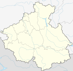
Ust-Muny (Russian: Усть-Муны; Altay: Ыны, Inı) is a rural locality (a selo) and the administrative centre of Ust-Munynskoye Rural Settlement of Mayminsky District, the Altai Republic, Russia. The population was 445 as of 2016. There are 19 streets.
Geography
Ust-Muny is located on the Katun River, 47 km south of Mayma (the district's administrative centre) by road. Barangol is the nearest rural locality.
References
- Карта села Усть-Муны в республике Алтай
- "Оценка численности постоянного населения Республики Алтай по населённым пунктам за 2012-2016 годы". statra.gks.ru. Retrieved 2018-09-24.
- Расстояние от Усти-Мунов до Маймы
| Rural localities in Mayminsky District | |||
|---|---|---|---|
This Altai Republic location article is a stub. You can help Misplaced Pages by expanding it. |