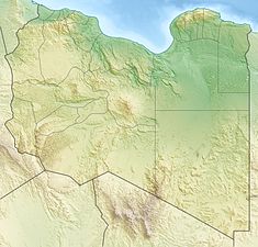
| Wadi Mejenin Dam | |
|---|---|
 | |
| Country | Libya |
| Location | Tripoli |
| Coordinates | 32°17′39″N 13°14′51″E / 32.29417°N 13.24750°E / 32.29417; 13.24750 |
| Status | Operational |
| Opening date | 1972 |
| Dam and spillways | |
| Impounds | Wadi Mejenin |
| Height | 42 m (138 ft) |
| Reservoir | |
| Total capacity | 58,000,000 m (47,021 acre⋅ft) |
| Surface area | 6 km (2 sq mi) |
The Wadi Mejenin Dam is an embankment dam located on Wadi Mejenin, 64 km (40 mi) south of Tripoli in the Jabal al Gharbi District of Libya. Completed in 1972, the primary purpose of the dam is water supply for irrigation and flood control.
References
- "Water profile of Libya". Encyclopedia of Earth. Retrieved 20 August 2011.
- "African Dam Factsheet". UN FAO. Retrieved 27 August 2011.
This article about a building or structure in Libya is a stub. You can help Misplaced Pages by expanding it. |
This article about a dam, floodgate or canal in Africa is a stub. You can help Misplaced Pages by expanding it. |