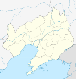
| Xi'an Road 西安路街道 | |
|---|---|
| Subdistrict | |
  | |
| Coordinates: 38°54′45″N 121°34′53″E / 38.91261°N 121.58143°E / 38.91261; 121.58143 | |
| Country | China |
| Province | Liaoning |
| Prefecture | Dalian |
| District | Shahekou |
| Area | |
| • Total | 5.83 km (2.25 sq mi) |
| Population | |
| • Total | 128,800 |
| • Density | 22,000/km (57,000/sq mi) |
| Time zone | UTC+8 (China Standard Time) |
| Division code | 210204018000 |
Xi'an Road Subdistrict is a township-level division in the east of the Shahekou District of Dalian, Liaoning, China.
Administration
There are 14 communities within the subdistrict.
Communities:
- Tianxing Community (天兴社区)
- Yonglian Community (永联社区)
- Minquan Community (民权社区)
- Changjiang Community (长江社区)
- Minxing Community (民兴社区)
- Zhicheng Community (至诚社区)
- Yongshun Community (永顺社区)
- Huanghe Community (黄河社区)
- Xingxin Community (兴新社区)
- Xingshe Community (兴社社区)
- Xingsheng Community (兴盛社区)
- Ruyi Community (如意社区)
- Yongji Community (永吉社区)
- Quanyong Community (泉涌社区)
See also
References
- 2009年沙河口区政区 (in Chinese)
External links
- 西安路街道党建网 (in Chinese)
This Liaoning location article is a stub. You can help Misplaced Pages by expanding it. |