| Zudilovo Зудилово | |
|---|---|
| Rural locality | |
| Location of Zudilovo | |
  | |
| Coordinates: 53°29′8″N 83°53′8″E / 53.48556°N 83.88556°E / 53.48556; 83.88556 | |
| Country | Russia |
| Federal subject | Altai Krai |
| Administrative district | Pervomaysky District |
| Founded | 1734 |
| Population | |
| • Total | 4,025 |
| Time zone | UTC+7 (MSK+4 |
| Postal code(s) | 658042 |
| Dialing code(s) | +7 38532 |
| OKTMO ID | 01632434101 |
Zudilovo (Russian: Зуди́лово) is a selo in Pervomaysky District of Altai Krai, Russia.
It is an administrative center of Municipal division Zudilovski Selsoviet.
Among local people the selo is divided into Old-Zudilovo and New-Zudilovo, with the border being the railway.
Geography
The selo is located in 33 km from the city of Barnaul.
The climate is continental with cold winters and warm summers.
In the natural landscapes valleys and forests, both mixed coniferous and softwood prevail. The main species of trees: Pinus sylvestris, Betula, Populus tremula and other broad-leaved trees. Shrubs: Sorbus and Padus.
The Big Cheremshanka River flows over the territory of the selo.
Transportation
The closest cities: Novoaltaysk — 7 km, Barnaul — 33 km, Biysk — 159 km, Novosibirsk — 205 km.
Two railways traverse the selo, connecting West and East of Russia, and also R256 highway runs through the locality.
The selo is directly reachable from Novoaltaysk by bus and from Barnaul by bus and EMU.
Economy
Apart from the «Sosnoviy Bor» sanatorium, the "Orlenok" summer camp, a skiing center, and several grocery stores, there are no enterprises, therefore residents mainly work in the cities around.
Gallery
-
 Storm in Zudilovo, Altai Krai
-
 Summer in Zudilovo, Altai Krai
-
 Big Cheremshanka River in Zudilovo, Altai Krai
-
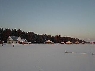
 Cold sunny day in Zudilovo
-
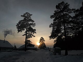
 Sunset, Lesnaya St, Zudilovo, Altai Krai
-
 Houses at Lesnaya St, Zudilovo, Altai Krai
References
Notes
- Russian Federal State Statistics Service (2011). Всероссийская перепись населения 2010 года. Том 1 [2010 All-Russian Population Census, vol. 1]. Всероссийская перепись населения 2010 года (in Russian). Federal State Statistics Service.
- "Об исчислении времени". Официальный интернет-портал правовой информации (in Russian). 3 June 2011. Retrieved 19 January 2019.
- Почта России. Информационно-вычислительный центр ОАСУ РПО. (Russian Post). Поиск объектов почтовой связи (Postal Objects Search) (in Russian)