| This article needs additional citations for verification. Please help improve this article by adding citations to reliable sources. Unsourced material may be challenged and removed. Find sources: "Abens" – news · newspapers · books · scholar · JSTOR (September 2024) (Learn how and when to remove this message) |
| Abens | |
|---|---|
 Abens in Abensberg Abens in Abensberg | |
 | |
| Location | |
| Country | Germany |
| Physical characteristics | |
| Source | |
| • location | Hallertau |
| Mouth | |
| • location | Danube |
| • coordinates | 48°51′26″N 11°46′11″E / 48.85722°N 11.76972°E / 48.85722; 11.76972 |
| Length | 71.1 km (44.2 mi) |
| Basin size | 1,020 km (390 sq mi) |
| Basin features | |
| Progression | Danube→ Black Sea |
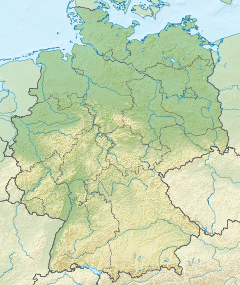
The Abens is a river in Bavaria, Germany, and a right-bank tributary of the Danube. Its source is near Au in der Hallertau. Some 71 kilometres (44 mi) long, the Abens flows generally northward through the small towns of Au in der Hallertau, Rudelzhausen, Mainburg, Siegenburg, and Abensberg. It empties into the Danube at Eining, part of Neustadt an der Donau.
References
- ^ Complete table of the Bavarian Waterbody Register by the Bavarian State Office for the Environment (xls, 10.3 MB)
| Baltic Sea | |
|---|---|
| Black Sea | |
| North Sea | |
| Maas | |
This Kelheim district location article is a stub. You can help Misplaced Pages by expanding it. |
This Freising district location article is a stub. You can help Misplaced Pages by expanding it. |
This article related to a river in Bavaria is a stub. You can help Misplaced Pages by expanding it. |